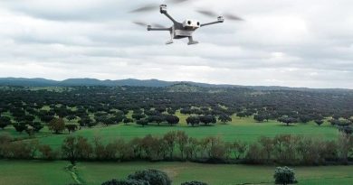
Tap2Map 3D Flight Planner iOS App for DJI Drones
Tap2Map Group announces the release of their new professional flight planner iOS app for DJI drone mapping that enables precise, automated and survey grade data capture.
Using their own well established and advanced algorithms combined with decades of aerial survey expertise they have created the most advanced 3D flight planning application for DJI drones.
5 different flight mission types. Each flight mission is designed to be intuitive, accurate and reliable giving you the flexibility that you need even for the most challenging surveys.
Tap2Map’s comprehensive app also comes with 3 extra features. Each feature will help you optimize the flight efficiency and keep your flight parameters at their best, for a reliable image collection quality.
With tremendous experience in the manned aerial survey business, the team behind Tap2Map understands the importance of an accurate, reliable and easy to use 3D flight planner. Every professional surveyor agrees that the finished product may it be a map, 3D model, Road or Railway vectors, will only be as good as your input data.
Tap2Map is now available for download on the AppStore with a seven day free trial. For more information on our product features and pricing visit www.tap2map.app
Happy landings with Tap2Map!


