Pix4D announces Pix4Dmatic: accurate, faster photogrammetry on a larger scale
Photogrammetry leader Pix4D is announcing the commercial release of
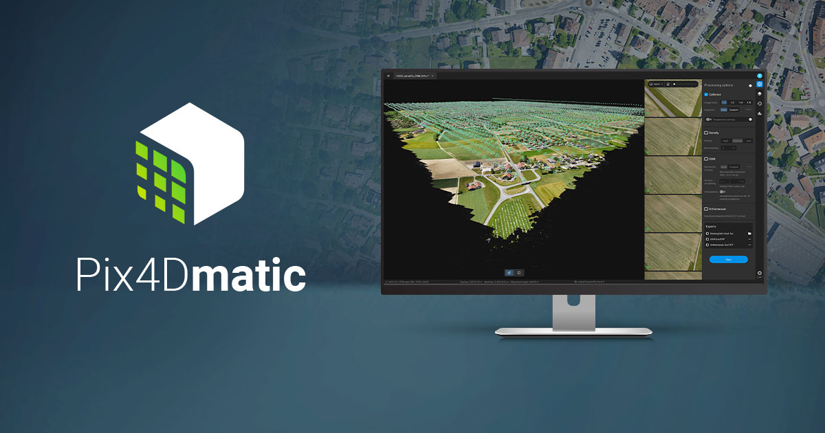
Pix4Dmatic: the digital photogrammetry software for accurate and fast corridor and large scale mapping.
Pix4Dmatic has been created to suit an evolving demand as professionals map bigger and bigger areas around the world. Projects that would have previously been mapped by aircraft are now being surveyed with drones. With Pix4Dmatic, these expert projects are made possible and
easier.
Drone flights beyond the visual line of sight (BVLOS), when permitted by law, are often considered the next frontier of drone mapping. Pix4Dmatic now offers support also for the large datasets resulting from multiple flights by easily processing over 10,000 images without compromising the results’ accuracy. This software will potentially open the door to a new era of drone mapping.
Christoph Strecha, Pix4D’s Founder and CEO, explains: “Pix4Dmatic will revolutionize the way corridor and large scale surveys are completed by creating the opportunity for every surveying and mapping professional to achieve high-quality and reliable results.”
Digital photogrammetry has become an essential part of every modern surveyors’ toolkit and has inspired hundreds of new drone mapping businesses around the world. Pix4Dmatic is now unlocking another scale in digital photogrammetry by making the processing faster and the
experience more intuitive.
Pix4Dmatic is now available for purchase for Windows and macOS on Pix4D.com , via official resellers , or by contacting the Pix4D sales team.