LiDAR Drones Are Revolutionizing Mapping and Geospatial Data By Pushing The Market To A New Horizon
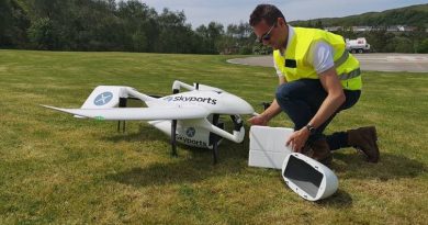
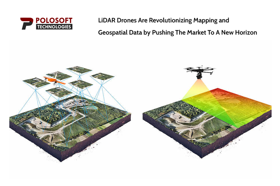
With sustainable development at its peak and in accordance with the latest technology, Polosoft Technologies has introduced LiDAR Drones that are revolutionizing the field of mapping and geospatial data. LiDAR (Light Detection and Ranging) is a form of remote sensing that makes precise 3D representations of the environment while measuring the distances between objects. With the use of drones fitted with LiDAR technology, Polosoft Technologies LiDAR Mapping, and geospatial service is now able to provide high-accuracy and high-resolution mapping services, making surveying and mapping more productive and affordable through accurate geospatial data.
“According to the most recent research study, the global LiDAR drone market size/share is anticipated to be valued at approximately USD 200.82 Million in 2022 and is projected to hit a revenue of around USD 2,286.09 Million by 2032, at an estimated CAGR of around 27.6% between 2023 and 2032,” the study found out.
LiDAR drones have created a whole new range of opportunities for our business, according to the CEO and Founder of Polosoft Technologies, Mr Lalit Tyagi. “Previously mapping data which were inaccessible is now available to us and is incredibly accurate and to the point. We are honored to be at the forefront of this breakthrough, which will revolutionize the industry”.
He further added “ Our professional corporate relationships with a variety of businesses enable us to gather market data that enables us to produce accurate research data tables and confirms the highest level of accuracy in our market forecasting. Each and every data contained in the reports issued by us is derived through primary interviews with top officials from leading companies of the domain concerned”
Polosoft Technologies with expert hands working in this field is able to provide its customers with a broad range of mapping and geospatial services using LiDAR drones, including land surveying, topographic mapping, urban planning, and environmental monitoring. Remote forests, rough terrain, and disaster-stricken areas are just a few examples of places where this technology is most helpful.
The budding company is dedicated to offering its customers the newest and most cutting-edge technology to serve their mapping and geospatial needs. With the advent
of LiDAR drones, Polosoft Technologies is transforming the sector and establishing a new benchmark for efficiency and accuracy.
Business Name: PoloSoft Technologies
Email : info@polosoftech.com
Phone Number: +1 503-928-5984
Address: 808 Platinum avenue, Essex Baltimore, Maryland- 21221
Polosoft Technologies is a next-generation technology-based company that has been establishing its roots in the technological industry for 6 years. We provide highly effective services in various disciplines to assist our clients in expanding and modernizing their organizations on a global scale.