Renowned Aviation Supplier Becker Avionics Partners with Iris Automation
Joint alliance to augment general aviation pilot safety Reno, Nevada + Rheinmuenster, Germany Becker Avionics, a 65 year globally-renowned aviation
Read more
Drone Expos World News

Joint alliance to augment general aviation pilot safety Reno, Nevada + Rheinmuenster, Germany Becker Avionics, a 65 year globally-renowned aviation
Read more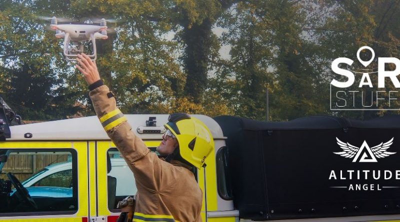
London, UK: Altitude Angel, the world’s most trusted UTM (Unified Traffic Management) technology provider, today announced Search and Rescue (SAR)
Read more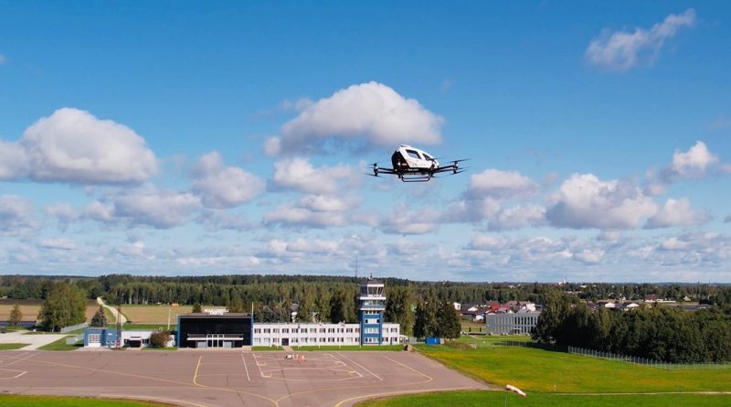
EHang Holdings Limited (Nasdaq: EH) (“EHang” or the “Company”), the world’s leading autonomous aerial vehicle (“AAV”) technology platform company, today
Read more
Skyports, the world-leading enabler of cargo drone deliveries and advanced air mobility (AAM) infrastructure, and Kencoa Aerospace, a global aerospace
Read more
Strategic partnership to provide new options for on-demand delivery and access to lifesaving resources DENVER, CO—August 3, 2021—Air Methods, the
Read more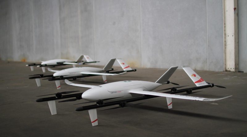
August 2, 2021, Melbourne Australia: Swoop Aero was founded to transform how the world moves by making access to the
Read more
London, UK: Altitude Angel, the world’s most trusted unified traffic management (UTM) technology provider, has been selected to represent the
Read more
London, UK: Altitude Angel, the world’s most trusted UTM (Unified Traffic Management) technology provider, today announced it has welcomed Japan-based
Read more
London, UK, 21st July 2021 – Malaysia Airports announced today that it has signed a tripartite memorandum of understanding (MoU)
Read more
GUANGZHOU, China, July 13, 2021 (GLOBE NEWSWIRE) — EHang Holdings Limited (Nasdaq: EH) (“EHang” or the “Company”), the world’s leading
Read more